
25.5 miles
5332 ft elevation gain
5672 ft elevation loss
13:30 total time
1:40 not moving
Noisy Creek NFS Campground
PNT Mile 334A
I decided to track my hike today with the GaiaGPS app and got the above interesting stats. It uses too much battery to do this everyday but I’m almost out to a town. It was a long day but I felt pretty good. I paced myself, drank a lot and ate almost constantly. I knew this section would be long and hard. I brought 6 full days of food. Ugh! This morning I still had 2+ days of food left. I’ve often been too exhausted to eat. I’ll be out early tomorrow.

It’s so sad that so few of these old growth forests still exist.

Yay! I’m in Washington. 2 states down.

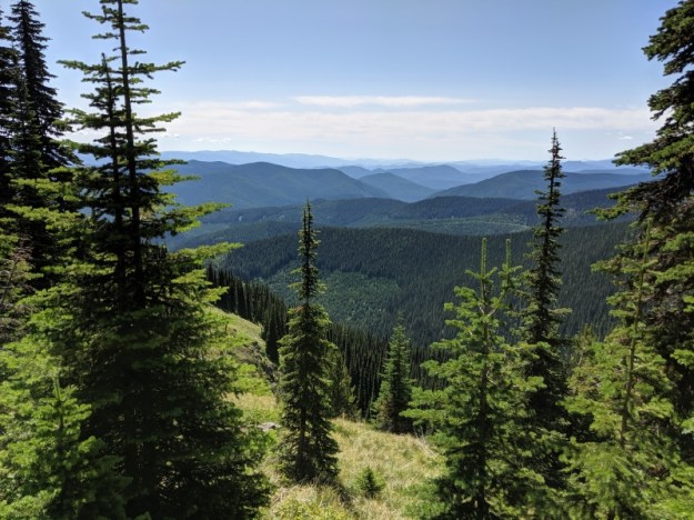
The best part of today was up high on the Shedroof Divide. I have no idea how it got this name. The views were grand.
Upper Priest Lake is visible in the distance way down below.
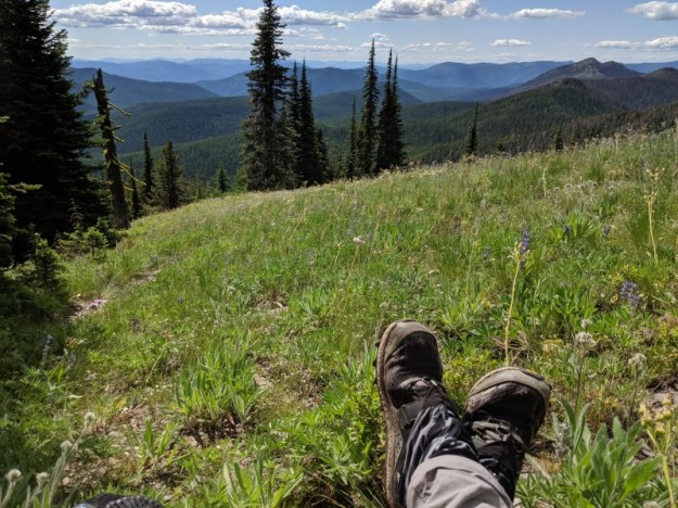
2nd lunch spot
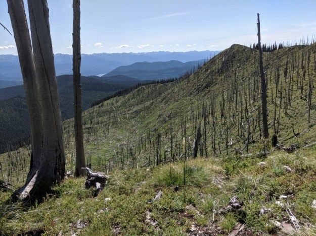
Then it was back into a burn area. The Noisy Creek Fire burned here last year. There has been much trail clearing and restoration since then. It was much appreciated to have clear trail.
I got to the last campsite by the creek at 6:15 and choose to just keep walking a couple more miles to get to the NFS campground by Sullivan Lake. The campground isn’t anything special but I have a picnic table to sit at, a privy and running water. Plus I just have flat walking and hopefully a hitch to get to town tomorrow.

Welcome to Washington.
Town day coming! Those trail stats are very impressive.