24.6 km. Pinto Lake campsite to 3.3 km past Cataract Pass.
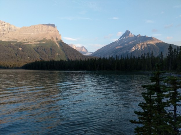
The morning was spent slogging thru bogs and mud, hopping over and around downed trees (but nothing like the last section), and whacking thru brush. When we could see out of the forest it was grand.
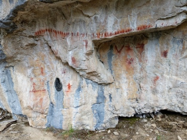
Ancient pictographs right next to the trail.
.
.
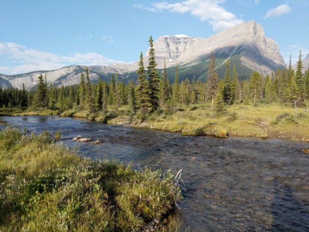
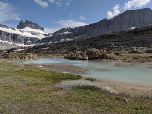
Once we finally got above treeline everything was wonderful and spectacular….. even when we huddled under our umbrellas during some rain squalls on our way up Cataract Pass.
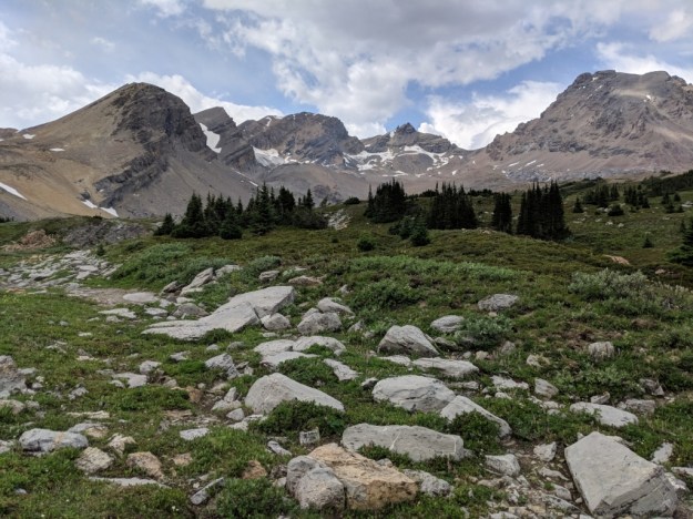
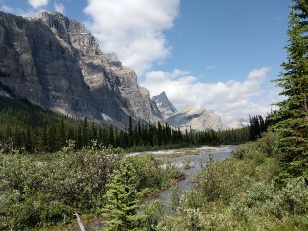
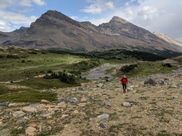
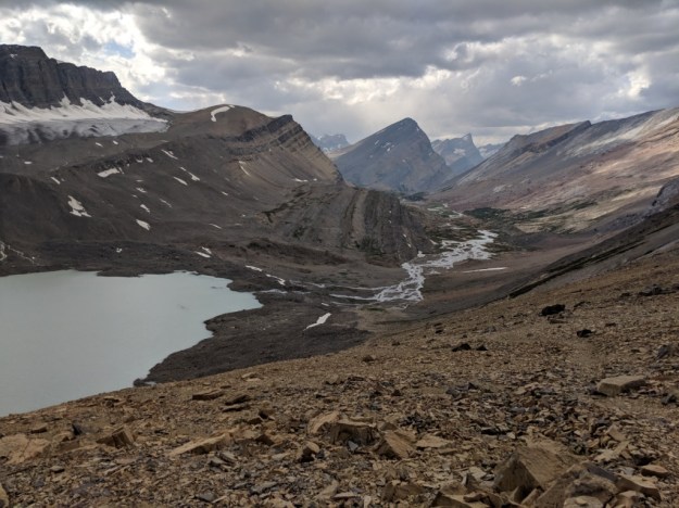
The hike up the pass was steep but the views on the way up and down made it my favorite pass of the GDT.
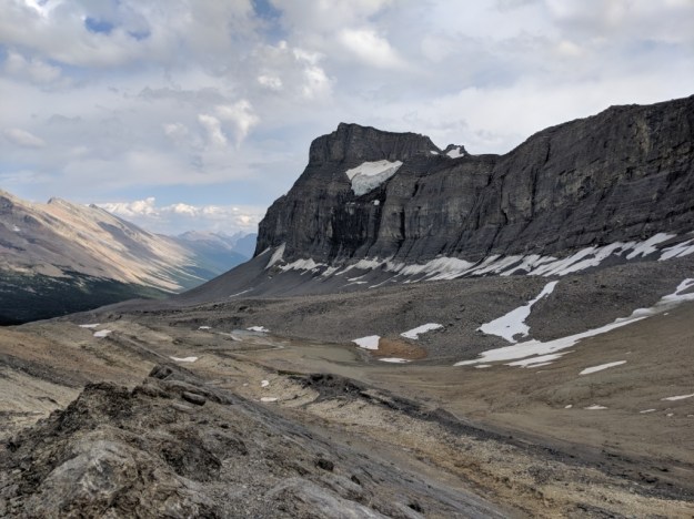

Cataract Pass
.
.
.
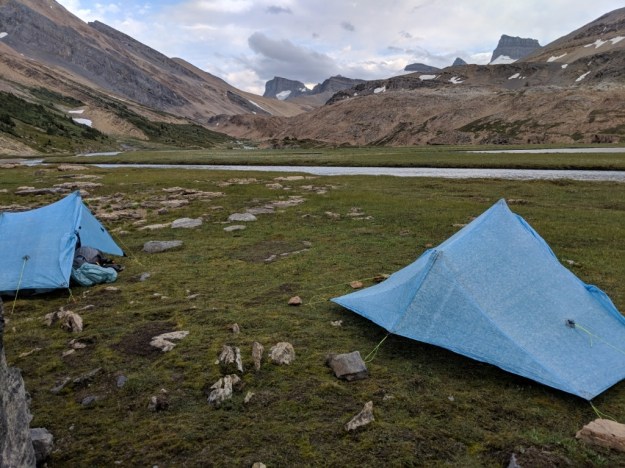
We have the best campsite of the trip. We set up when it started to rain again and looked like it might continue for a long time. It didn’t.

Nancy did you notice that amazing fault on Cataract pass?
Ha, ha. Is that the split between the 2 ridges? I’ve been wishing I knew more geology the whole time I’ve been in Canada.
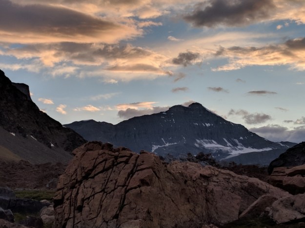
Great photos Nancy. Really like the third one up.
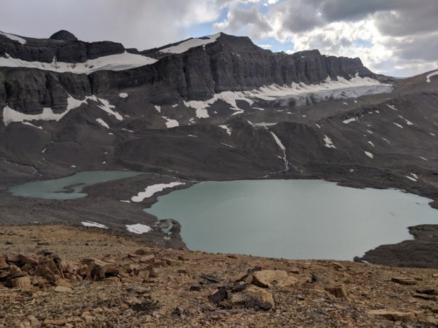
Stunning photos, Nancy .. the one above the photo of the two of you reminds me of the Barroude Wall in the Pyrenees
Yes!
This beauty makes me want to cry; my kind of cherry pickers’ delight. Love the photo of you two, and I see you brought the serious rain jackets for this trek.