24.8 km. Cairns Creek to near the end of the Howes River Plain Alternate.
GDT Km 632.9
We were up early to check the water level in Cairns Creek. It had dropped at least a foot. We picked the widest and best place to cross. Fording the fast flowing creek was much more difficult because it’s got so much glacial silt in it that you can’t see the depth of any submerged rocks. It never got much over knee high so it wasn’t too scary. But I was relieved to get across. It took a long time for our feet to thaw out.
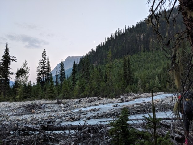
You can’t tell from this photo but the water level had dropped appreciably and we are now on the North side.
.
A couple hours later we got to Lambe Creek and another washed out bridge. We actually saw the bridge marooned on an island downstream on an island in the Braeberry River.

.
The bridge that Graham has made for his kids was amazing. It made the crossing easy instead of very scary or just not doable.
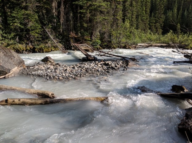
The first part without a bridge was less than knee high.
.

Most of the trail today was extremely overgrown and also had lots of downed trees. My legs, especially my shins are bruised.
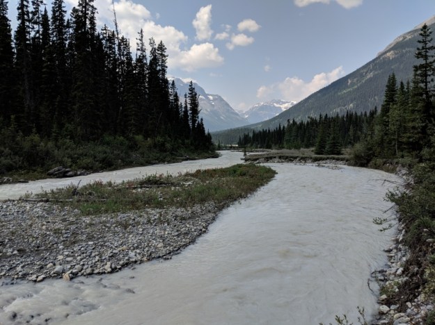
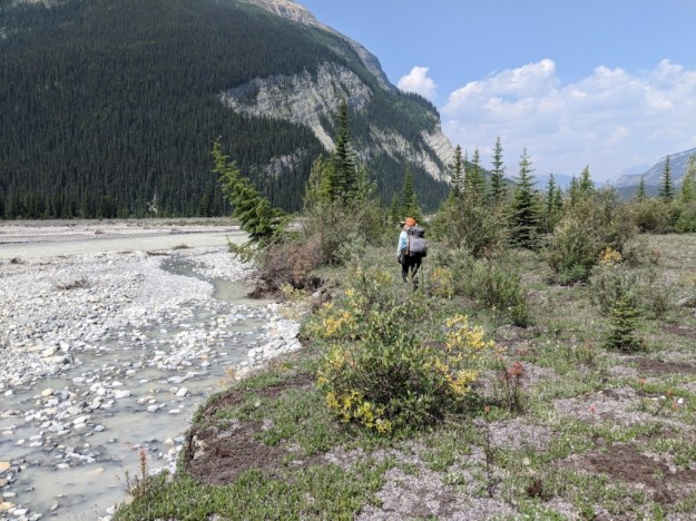
We took the recommended alternate on the Howse River Flood Plain because the GDT has a ridiculous number of downed trees. The flood plain was wide open and gorgeous. It was fairly easy walking until we had to re-enter the forest. Then it was awful brush and downed trees. I really can’t describe how slow and ugly it is. I feel fortunate that neither of us got injured. Of course the was still lots of beauty out there.


Waist deep and cold.
.
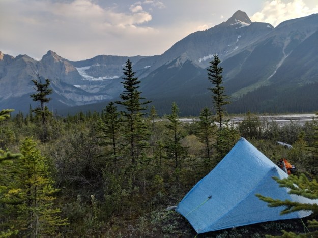
We are now camped on the flood plain but up high enough to be safe.
Tomorrow we get a shower and bed.

Wow! So beautiful and rugged. Glad you didn’t sustain any injuries except bruises. You two are rugged too!
We are trying to be rugged!
That shot of Rockin’ sure looked cold.
Deep would make me nervous