22.8 miles
4895 ft elevation gain
2577 ft elevation loss
Boulder Creek Summit CG
PNT mile 433.3
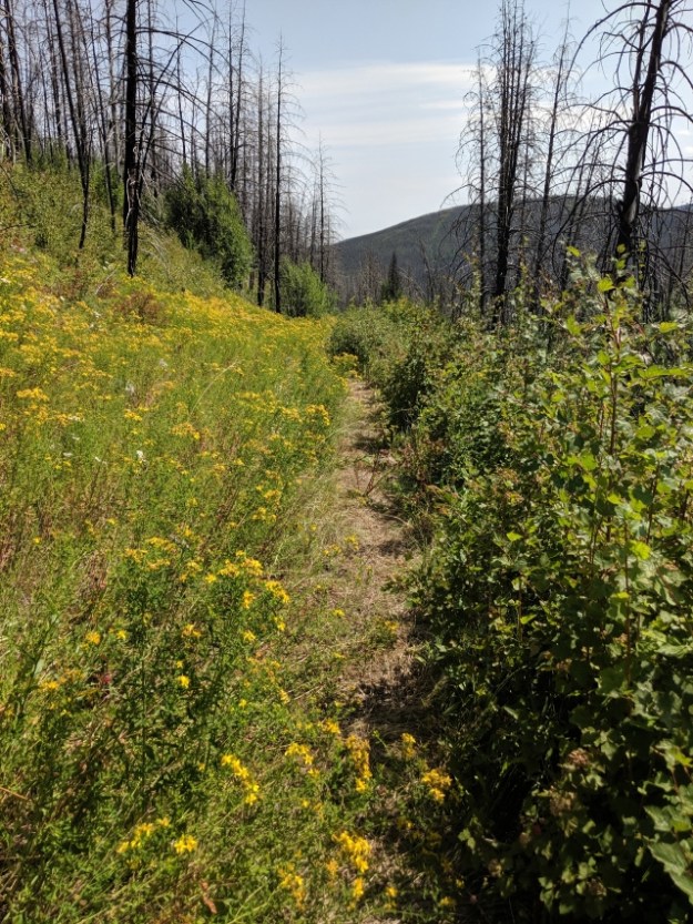
There was lots more road walking today but it was better than yesterday. It was more interesting and there were views. It’s hazy or smoky out so maybe our luck with fires is running out. Much of the day was thru a 2015 burn area. A few miles of it was overgrown and had lots of downed trees that I got to climb over, under and around. But it was not even close to as bad as Parker Ridge.

The Kettle River
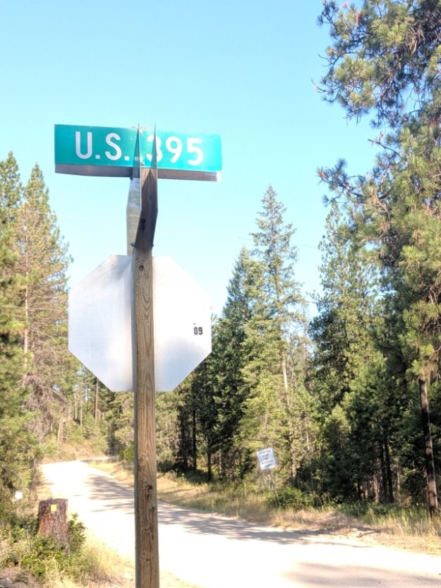
US 395 runs along the Eastern side of the Sierra Nevada Mountains and is one of my favorite areas. I had no idea it extended this far north.
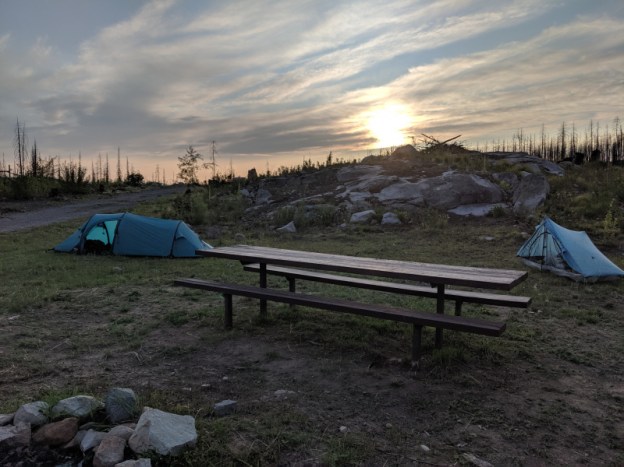
I am now camped with the Brits at Boulder Creek Summit Campground. It’s a car campground but it’s been closed since the 2015 fire. It has an open, stocked and clean privy, picnic tables, and no one else is here. Many of the burned trees have been removed and there isn’t much bare dirt like most campgrounds. And we are on top of a saddle with nice views.

A few trees survived.
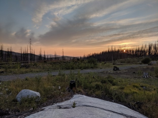
I’m sure the sky color got better but I couldn’t stay awake any longer.

Well, I hope you had a good, long, and refreshing sleep!
Hwy 395 is an epic American road that connects Mexico to Canada. Great history about its construction and role in the development of the West.