Lauenen to 5 km before Col de Mosses
Day total: 27.5 km
VA1 total: 286 km
Today was a great day with lots of views. It never got really clear but at least the clouds stayed high. Plus we stayed high and didn’t have any major descents.
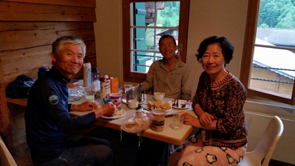
We said goodbye to the Koreans
I slept great. The morning was nice and cool which was perfect for walking.

Leaving Lauenen
We hiked over Krinnen Pass, 1659m, which was a wooded pass. Switzerland is definitely getting softer.
Krinnen Pass. This mountain is Les Diablerets and we could see it all day.
An hour later we were in the village of Gsteig. Even tho it was Sunday the store was open all day. There was also a vintage bike ride going on. The bikes had to be over 30 years old.
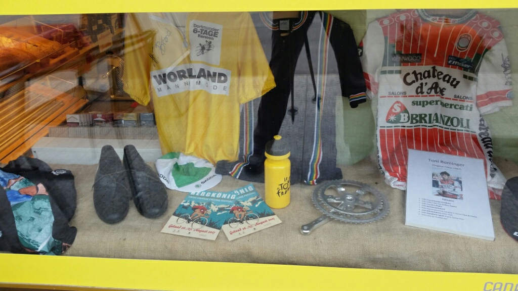
Grocery store window display

Bike ride aid station
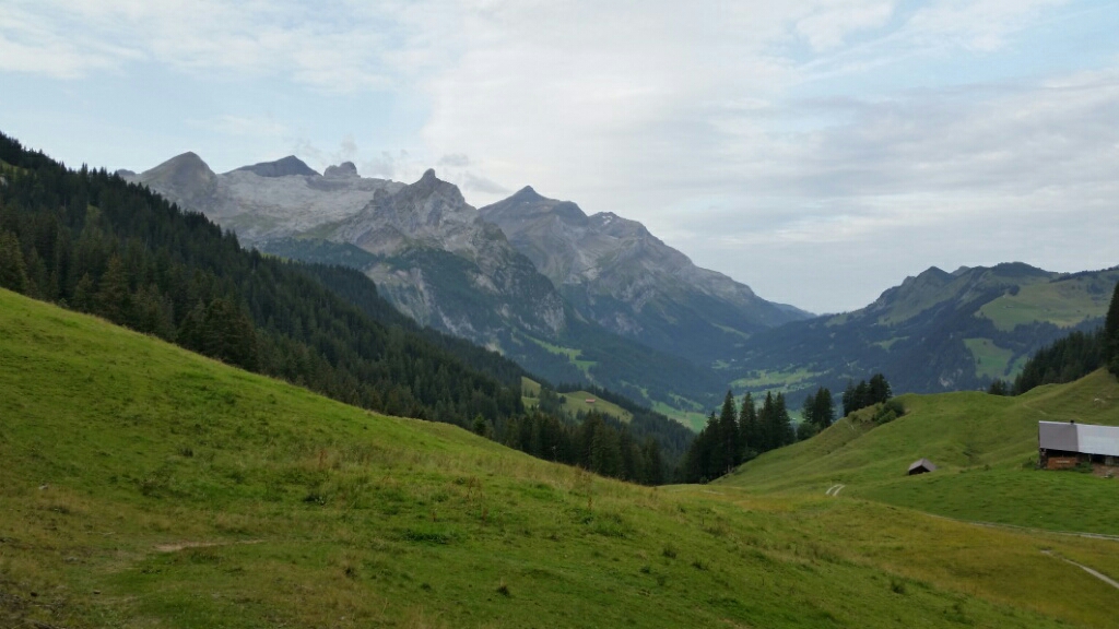
Lots of steep climbing later we were at the Blattipass, 1900 meters. It wasn’t super clear today but we could still see almost the complete line of the Bernese Oberland, including Wetterhorn and Eiger all the way to the much closer Les Diablerets. I just love it when you can look back and see where you were hiking just a few days ago.
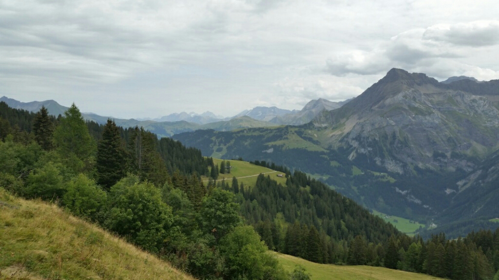
I could see the Eiger on the left but it’s not clear enough to see on this photo.


Arnensee Lake
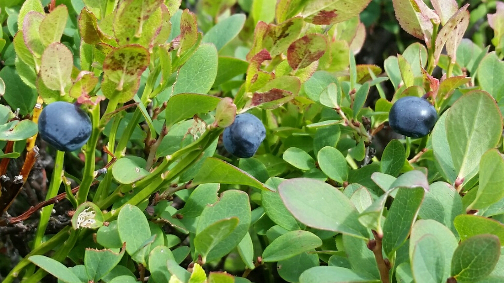
Huckleberries


Col des Andérets, 2034 meters, whose ridge carries the Rhône/ Rhine watershed. We said goodbye to the Eiger and soon could see Dents du Midi and finally just a bit of Mont Blanc.

Dents du Midi
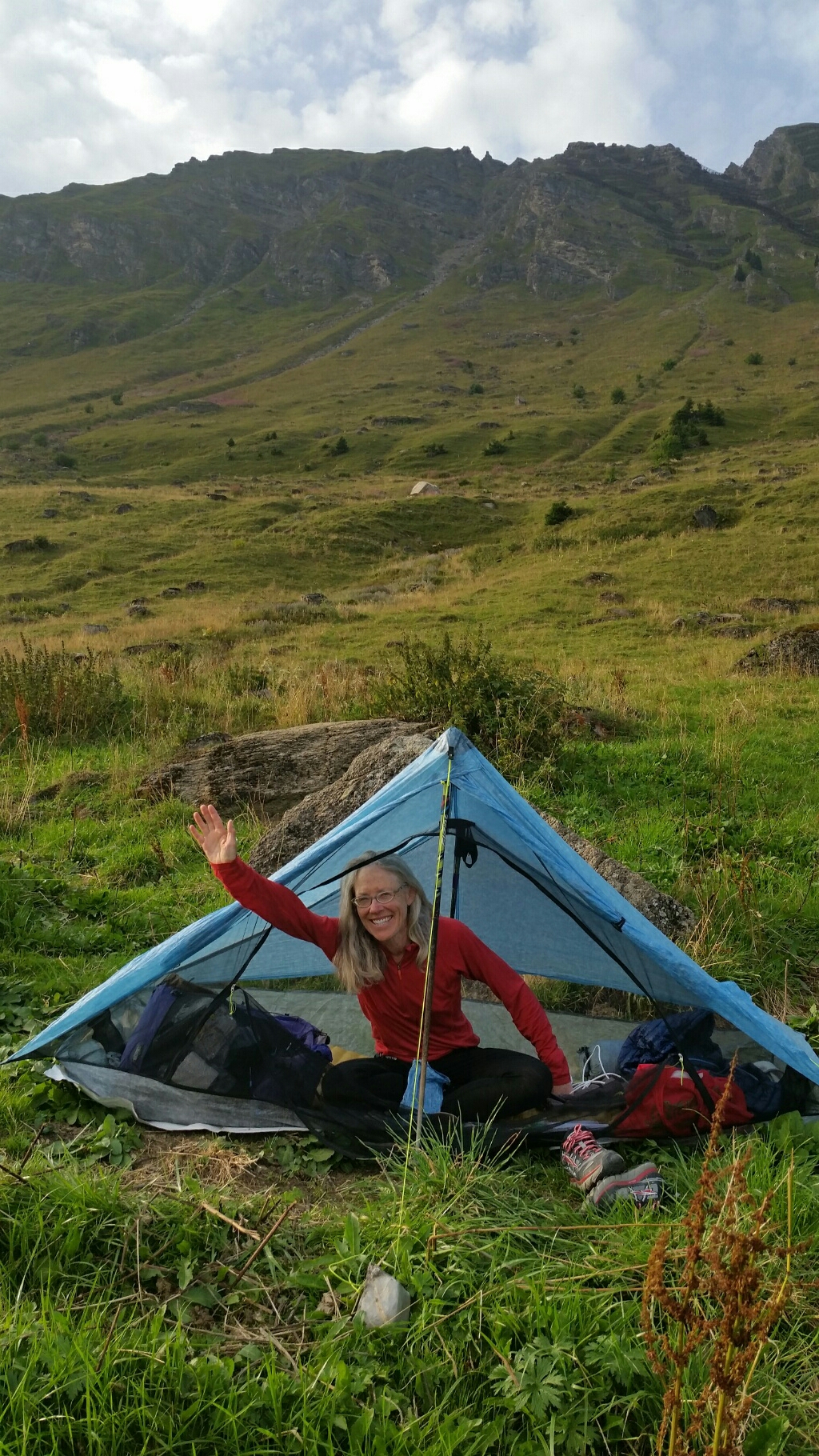
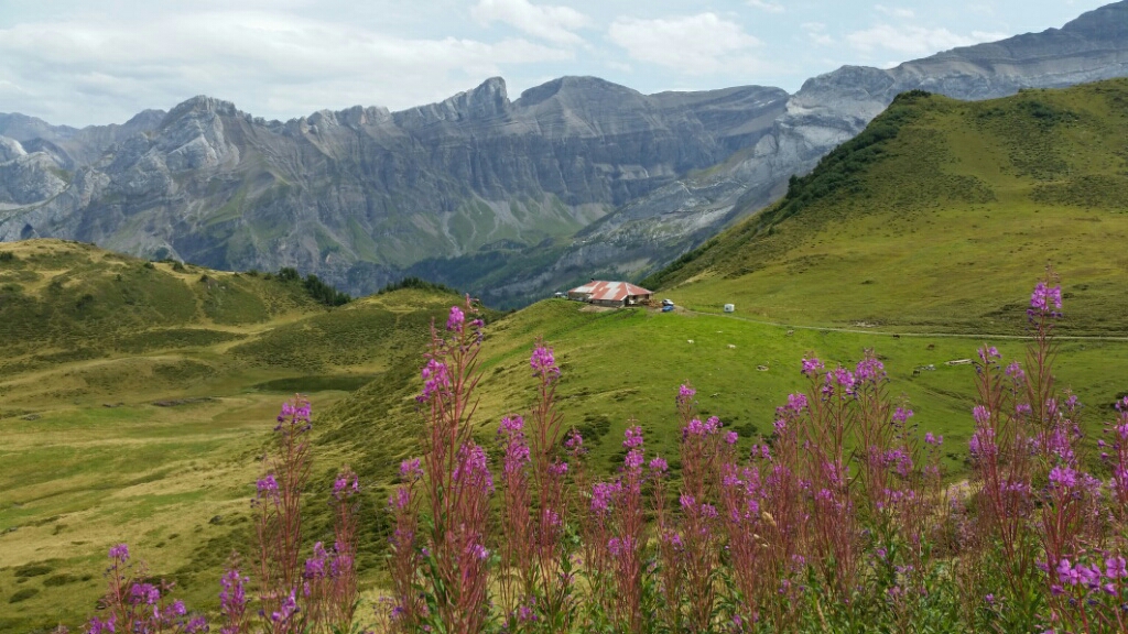
We found a place to camp with a view of Les Diablerets and the smidgen of Mt Blanc.

Dinner with a view